Leveling Staff – Types – Reading Methods – Uses – PDF
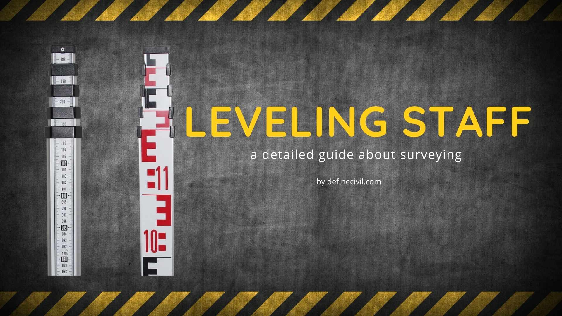
Levelling staff is one of the major instruments used in civil engineering survey. Specifically, it is used in leveling while finding the difference between heights of two points. It has different names in the field as leveling rod, self-reading staff, staff-rod, or level staff. . A leveling staff is a large size graduated ruler which … Read more